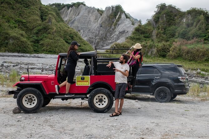
Mt. Pinatubo Day Tour from Manila
Transport includedMountain fees coveredLicensed guide
From $107 per person
On the afternoon of 15 June 1991 Mount Pinatubo produced the second-largest volcanic eruption of the twentieth century. It removed 260 metres from its own summit, killed 847 people, closed two American military bases, and cooled the surface of the entire planet by about half a degree. Everything a visitor sees today — the grey plain, the canyon walls, the lake — is the wreckage of that afternoon.
Pinatubo was 1,745 metres high, forested to the top, and so quiet that most Filipinos had never heard of it. Its last major eruption was around 500 years earlier and no living person had seen it do anything. The Aeta, the indigenous people of the Zambales range, farmed and hunted on its slopes. The name itself may mean "made to grow", or "a fertile place where one can make crops grow", which suggests somebody once knew better.
Steam explosions began in early April. Philippine and American volcanologists put instruments on the mountain and read them correctly, which is the reason this eruption is studied as a success rather than only as a disaster.
About 60,000 people had left the area within 30 kilometres before the 15th.
| Date, 1991 | What happened |
|---|---|
| 2 April | Steam explosions open vents on the north-west flank |
| 7 April | First formal evacuations ordered inside 10 kilometres |
| 7 June | Alert level 4; the 10–20 kilometre zone is evacuated |
| 12 June | An eruption column reaches 19 kilometres |
| 13 June | Alert level 5; evacuation extends to 40 kilometres |
| 15 June, 13:42 | The climactic eruption begins |
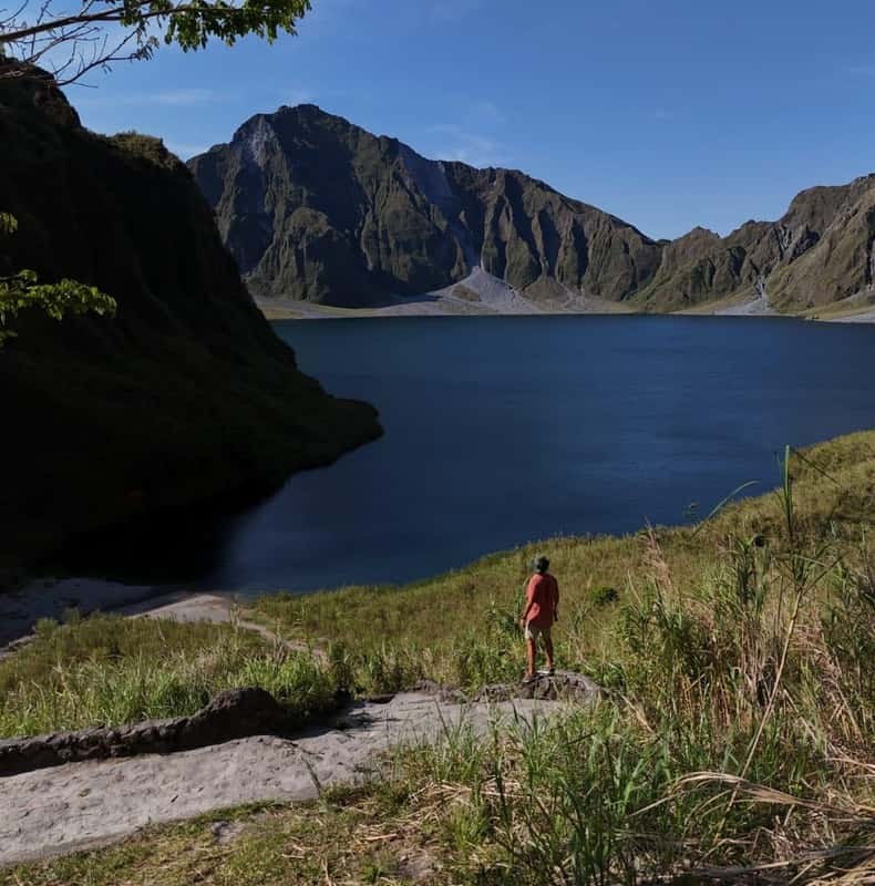
The climactic phase lasted hours and threw more than 10 cubic kilometres of material out of the mountain. Ash reached 34 kilometres into the atmosphere, well into the stratosphere. Pyroclastic flows — avalanches of hot gas and rock — filled the valleys around the volcano with deposits up to 200 metres thick. When the magma chamber emptied, the summit collapsed into it and left the caldera the lake now fills.
By an appalling coincidence, a typhoon crossed Luzon the same day, its centre passing about 75 kilometres north of the volcano. Its rain fell into the ash cloud. Dry ash is light; wet ash is not, and it set like cement on every roof for a hundred kilometres. Of the 847 people who died, most were killed by roofs collapsing under the weight of it. The evacuation had already moved tens of thousands of people out of range of the flows; the typhoon killed people the volcanologists had correctly saved.
The eruption put roughly 10 billion tonnes of magma and about 20 million tonnes of sulphur dioxide into the air, and the sulphur went high enough to stay. In the stratosphere it formed an aerosol haze that spread around the world and reflected sunlight back into space. Global surface temperatures fell by about 0.5 °C, an effect that took roughly eighteen months to peak and then faded. It remains the clearest natural experiment climate scientists have in what stratospheric sulphur does.
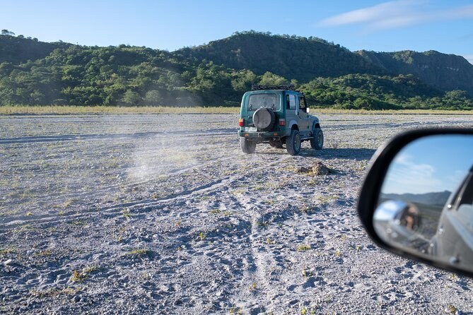
The eruption was one afternoon. The lahars went on for a decade. Rain falling on the loose ash that now covered the mountain mobilised it into fast grey mudflows that ran down every river draining Pinatubo, burying towns in Pampanga, Tarlac and Zambales far from anything the eruption itself had touched. Whole communities were relocated. The ash plain the 4x4s cross today, and the canyon walls the trail runs between, were cut by exactly that process.
The people who lost most were the ones who lived highest. The Aeta communities on the slopes were evacuated first and had least to go back to, because the villages, the forest and the hunting were all under ash. Resettlement was slow and in many cases permanent. In 2009 and 2010 they were granted a Certificate of Ancestral Domain Title over land on the mountain, and they have pressed publicly since for a share of the tourism revenue the crater now generates. Guides on two of the tours here stop at an Aeta village on the way through, and travellers write about it more than they write about the landscape.
Clark Air Base sat 25 kilometres east of the volcano and took metres of ash. It was evacuated before the eruption and never reopened as an American base; the Philippines took it over and it is now Clark International Airport, which is where some visitors to this mountain now land. Subic Bay Naval Base reverted to Philippine control in November 1992. The eruption did not cause the political decision to end the base agreements, but it settled the argument.
Not significantly. PHIVOLCS, the Philippine Institute of Volcanology and Seismology, monitors Pinatubo continuously, and it has sat at alert level 0 — normal — with the most recent activity, in November 2021, phreatic only: steam, not magma. It is an active volcano and it is watched like one, which is precisely why walking into the crater is a normal thing to do on a Tuesday. The figures behind all of this are collected with their sources, and the lake that filled the hole has its own page.
From $107 per person
From $101 per person
From $382 per person