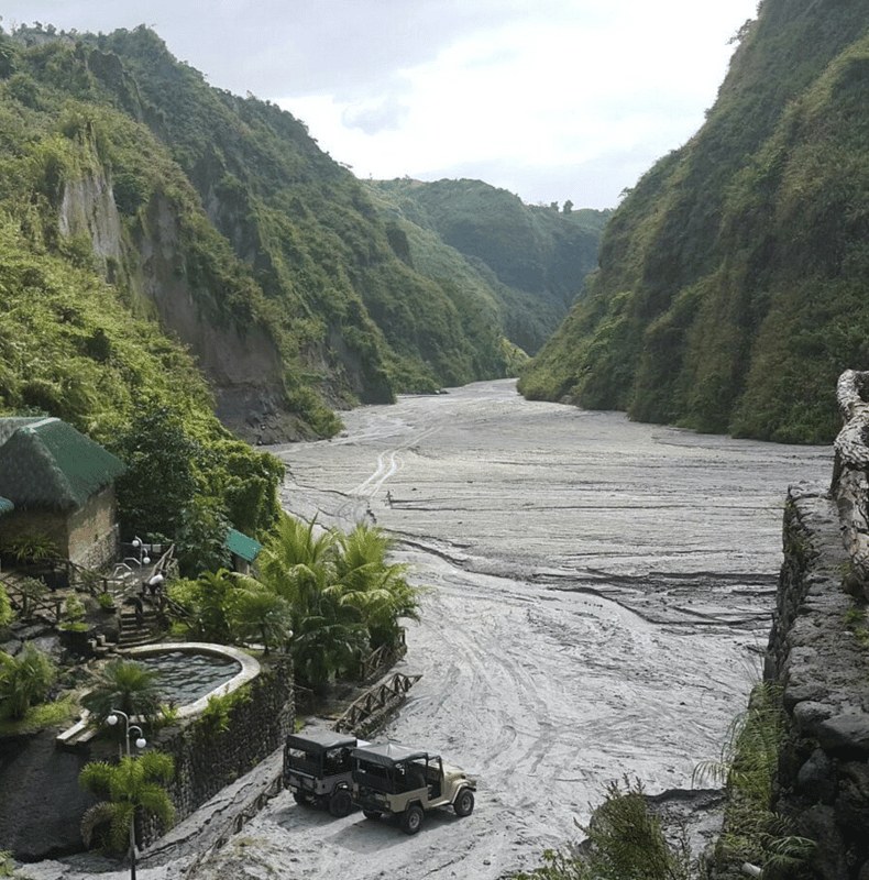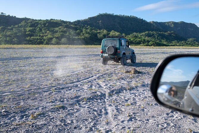
Manila: Mount Pinatubo 4X4 & Hiking Trip
Transport includedMountain fees coveredLicensed guide
From $101 per person
Every figure a visitor asks for, with the body that published it beside it. Two numbers on this mountain are genuinely disputed and one is deliberately absent; all three are flagged where they sit rather than smoothed over.
| What | Figure | Source |
|---|---|---|
| Height today | 1,486 m | PHIVOLCS, via the published record |
| Height before 15 June 1991 | 1,745 m | PHIVOLCS; USGS |
| Lost from the summit | About 260 m | The difference between the two |
| Coordinates | 15°08′30″N, 120°21′00″E | Published summit position |
| Provinces | Zambales, Tarlac and Pampanga meet at the summit | Published record |
| Range | Cabusilan sub-range of the Zambales Mountains | Published record |
| Distance from Manila | About 87 km north-west | Published record |
| Type | Active stratovolcano | PHIVOLCS |
| Current alert level | 0, normal | PHIVOLCS |
| Last activity | 30 November 2021, phreatic only | PHIVOLCS |
| What | Figure | Source |
|---|---|---|
| Date and time of the climactic phase | 15 June 1991, from 13:42 | Published eruption record |
| Volcanic Explosivity Index | 6 | USGS; published record |
| Material ejected | More than 10 km³ | Published eruption record |
| Ash column height | 34 km | Published eruption record |
| Magma brought to the surface | About 10 billion tonnes | USGS |
| Sulphur dioxide into the stratosphere | About 20 million tonnes | USGS |
| Global surface cooling | About 0.5 °C | USGS |
| Deaths | 847 | Published eruption record |
| Evacuated before 15 June | About 60,000 from within 30 km | Published eruption record |
| Pyroclastic deposits | Up to 200 m thick | Published record |
| Caldera left behind | 2.5 km across | Published eruption record |
| What | Figure | Source |
|---|---|---|
| Formed | A shallow lake by early September 1991 | Published lake record |
| Surface area | 1.83 km² | Published lake record |
| Surface elevation | About 900 m | Published lake record |
| Maximum depth | Disputed: research supports 95–115 m; a 2005 study claimed 600 m | Published lake record |
| Rim channel cut | September 2001, about 5 m wide | Published lake record |
| Volume released then | Roughly a quarter of the lake | Published lake record |
| People downstream at risk | About 40,000 | Published lake record |
| What | Figure | Where it comes from |
|---|---|---|
| Cheapest guided day | From $101 per person | The listings, captured 2026-09-01 |
| Longest guided day | 14 hours | The private crater hike listing |
| Shortest guided day | 8 hours | The Puning Hot Spring listing |
| Drive from Metro Manila | About 3 hours each way | The published itineraries |
| Drive from Clark | About 1 hour | Route guidance |
| Walk to the crater | 1–2 hours each way, 3–5 km | The listings and their reviewers |
| Time at the lake | 1–1.5 hours | The published itineraries |
| Largest stated group | 12 travellers | One of the shared crater listings |
| Cancellation | Free to 24 hours before, on every one | The listings |
The mountain and eruption figures are the published scientific record and they do not change. The visit figures are the operators' own, captured on one day, and they do. Prices in particular are a snapshot: treat every dollar figure here as indicative and confirm it on the booking page. Ratings and review counts are the operators' own data reproduced as plain text, never marked up as though this site had collected them.
The eruption itself puts these numbers in order, and what the day involves turns the visit figures into a plan. Every tour is listed on Mount Pinatubo Tours.
From $101 per person
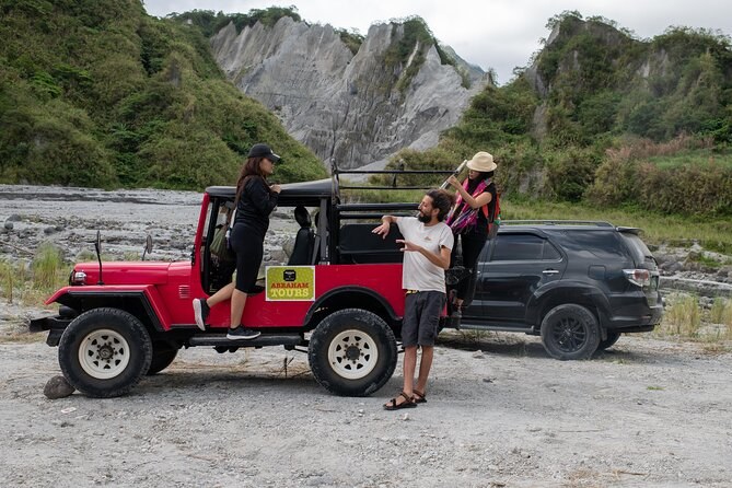
From $107 per person