Mt.Pinatubo: Hike Day Hike only from MANILA PRIVATE TOUR
Private groupPickup includedMountain fees covered
From $382 per person
Mount Pinatubo is one crater with more than one way in, and the approaches start in different provinces under different local authorities. Which one your booking uses decides your drive, your fees and how long you spend in a jeep — and it is rarely stated on the listing.
The summit stands at 15°08′30″N, 120°21′00″E, in the Cabusilan sub-range of the Zambales Mountains, on the point where Zambales, Tarlac and Pampanga meet. It is about 87 kilometres north-west of Manila, roughly an hour from Clark International Airport, and 25 kilometres west of the old Clark air base that the 1991 eruption buried. The South China Sea is 30 kilometres to the west; the flat central plain of Luzon runs east from its foot.
Three roads onto the same mountain, and only two of them end at the caldera.
| Approach | Province | Jump-off | Used by | What is different |
|---|---|---|---|---|
| Capas trail | Tarlac | Barangay Santa Juliana | The shared crater days from Makati | The established route; the longest 4x4 run and the widest riverbed |
| Botolan trail | Zambales | Botolan, on the western side | The private crater hike | Reached through Tarlac then Zambales; its own fees and its own authority |
| Puning road | Pampanga | Sitio Target, Sapang Bato, Angeles City | The hot-spring day | A different valley altogether; a canyon and a resort, not the crater |
A third route from the Clark side, at Inararo, has been announced by operators as an alternative when the main trails close. None of the tours listed here uses it, so it is mentioned rather than described.
Where: Barangay Santa Juliana, Capas, at the eastern foot of the
range.
Getting there: NLEX, SCTEX, the Capas exit, then the barangay road.
What happens there: registration, fee collection, and the 4x4 dispatch at
first light.
Why it dominates: it is the closest usable approach to Metro Manila, and
it is the one both shared crater days use.
The trail here reopened on 23 June 2025 after a suspension over trail maintenance and ancestral-domain matters, and it now runs through operators accredited by the local government. Getting to the jump-off has the road detail for every direction.
Botolan sits on the far side of the range, closer to the coast. The private crater hike loads there: its published itinerary drives north through Tarlac, crosses into Zambales, then runs the 4x4 and the walk from the western valleys. It reaches the same lake. What changes is who collects the fees, how long the drive is from wherever you are staying, and how the day is timed. The two routes compared takes it further.
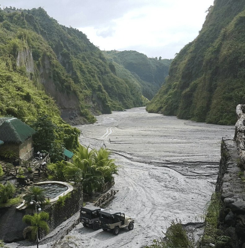
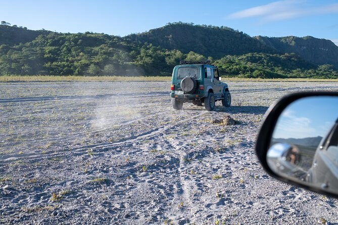
Between the Capas jump-off and the crater lies a wide flat valley of volcanic sand. It has long been used as a military range, and to visitors it is simply the 4x4 stretch. The surface is the deposit the 1991 eruption and the lahars that followed left behind. It is what makes the approach a jeep journey rather than a walk, and the canyon walls the trail runs between are the same material, cut by rain.
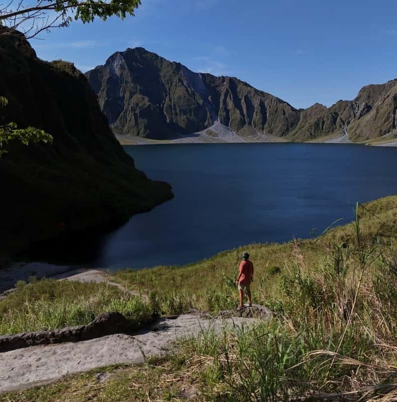
The distances are worth holding in your head, because they explain the shape of the day. From the registration desk the jeep runs west for an hour or more before anybody gets out. The walk then follows a valley floor for three to five kilometres. The crater rim arrives without warning: one moment you are between grey walls, the next the ground opens and there is water 250 metres below you. Almost nothing about the approach prepares you for the view, which is the reason people put up with the drive.
How far the jeep gets depends entirely on the season. In the dry months it can push well up the riverbed and the walk shortens to something close to an hour. After heavy rain it stops lower, the crossings deepen, and the same day becomes a good deal longer. The month-by-month page has PAGASA's rainfall figures for the nearest station.
Once you understand that everything under the wheels used to be the top of the mountain, the drive stops being dead time. If you would rather see it than read about it, Mount Pinatubo trekking tour departures are listed on Mount Pinatubo Tours, and the eruption that built this landscape explains the rest.
From $382 per person
From $101 per person