Mt. Pinatubo Day Tour from Manila
Transport includedMountain fees coveredLicensed guide
From $107 per person
Most volcano facts are interchangeable. These are not: every one of them is specific to this mountain, and several of them change what you are looking at when you get there.
Pinatubo stood at 1,745 metres before 15 June 1991. It stands at 1,486 metres now. The summit did not blow off so much as fall in, collapsing into the space the emptied magma chamber left behind.
The eruption put about 20 million tonnes of sulphur dioxide into the stratosphere, according to the United States Geological Survey, where it formed an aerosol haze that spread worldwide and reflected sunlight back into space. Global surface temperatures fell by about 0.5 degrees Celsius. It remains the clearest natural experiment climate science has for what stratospheric sulphur actually does.
A typhoon crossed Luzon the same day, its centre passing about 75 kilometres north of the volcano. Its rain fell into the ash cloud, and wet ash is heavy enough to set like cement. Of the 847 people who died, most were under roofs that collapsed. The evacuation had already moved tens of thousands out of range of the flows.
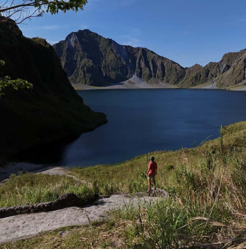
A shallow lake had formed in the new caldera by early September 1991, less than three months after the eruption. Central Luzon is wet, and it kept filling for a decade.
Published research supports a maximum depth of 95 to 115 metres. A Japanese study from 2005 put it at 600 metres, and that is the number the internet repeats because it is the better story. The crater lake page sets out both.
By 2001 the lake had risen far enough that a sudden breach threatened about 40,000 people downstream. In September that year a channel roughly five metres wide was dug through the rim and about a quarter of the volume released under control. The notch is still there.
The eruption lasted an afternoon. The lahars went on for years: rain mobilising loose ash into fast grey mudflows down every river draining the volcano, burying towns in Pampanga, Tarlac and Zambales that the eruption itself never touched. Whole communities were relocated permanently.
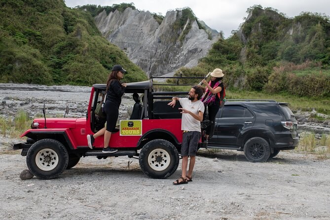
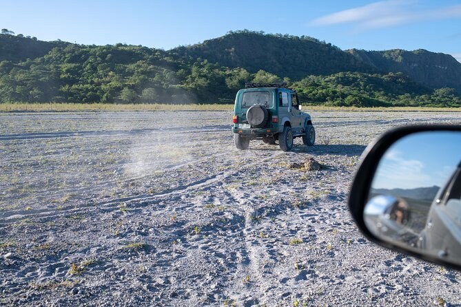
The flat grey valley the jeeps cross is the mountain's own top, redistributed. The canyon walls the trail follows are the same material, cut vertically by every wet season since. The map page shows where it all went.
Clark Air Base, 25 kilometres east, took metres of ash and was never reopened as an American base; it is now Clark International Airport, where some visitors to this mountain land. Subic Bay reverted to Philippine control in November 1992.
"Pinatubo" may mean "made to grow", or "a fertile place where one can make crops grow". The last major eruption before 1991 was around 500 years earlier. Whether the name records a memory of it is not settled, but somebody was paying attention.
The Aeta, the indigenous people of the Zambales range, farmed and hunted on the slopes. They were evacuated first and had least to return to. In 2009 and 2010 they were granted a Certificate of Ancestral Domain Title over land on the mountain, and they have pressed publicly since for a share of the tourism revenue. The eruption page covers what happened to them.
PHIVOLCS monitors Pinatubo continuously. It has sat at alert level 0 — normal — with the last activity in November 2021 and phreatic only: steam, not magma. An active volcano under constant instrumentation is a safer place to spend a Tuesday than most mountain roads.
Sixty thousand people had left the area within thirty kilometres of the volcano before the climactic eruption began, because Philippine and American volcanologists read their instruments correctly and the authorities acted on them. Against a VEI 6 eruption in a densely settled landscape, 847 deaths is a number that could have been very much larger.
Two of the tour listings describe the day as a hike to the summit. What you reach is the lakeshore at about 900 metres, some 590 metres below the high point. Nobody on a day tour stands on top of this volcano, and once you know why the top is missing, you stop wanting to.
Every figure above, with the body that published it.
| The figure | What it is | Where it comes from |
|---|---|---|
| 1,745 m → 1,486 m | Height before and after 1991 | PHIVOLCS; USGS |
| 13:42, 15 June 1991 | Start of the climactic eruption | Eruption record |
| 34 km | Ash column height | Eruption record |
| 20 million tonnes | Sulphur dioxide into the stratosphere | USGS |
| 0.5 °C | Global surface cooling | USGS |
| 847 | Deaths | Eruption record |
| 2.5 km | Caldera diameter | Eruption record |
| 1.83 km² | Lake surface area | Lake record |
Two of the numbers above are contested and it is worth knowing which. The lake depth is the obvious one: 95 to 115 metres in the research consensus against 600 metres in a single 2005 study, a difference of a factor of five. Anyone quoting one figure without the other is repeating rather than checking.
The sulphur dioxide mass is the second. Figures between roughly 17 and 20 million tonnes appear across the literature depending on how the measurement is made and what is being counted; this page uses the United States Geological Survey's own published figure of about 20 million tonnes, and says so. The cooling that followed is much better constrained, because it was measured directly all over the world for eighteen months.
What is not disputed: the date and time, the height before and after, the caldera diameter, the death toll and the evacuation numbers. Those come from the eruption record and from the agencies that were on the mountain at the time, and nothing since has moved them. The eruption page sets them in order.
The facts that surprise people most are not the big ones. It is that the lake is younger than they are, that the plain they drove across used to be the peak, and that the whole planet felt this for eighteen months. What the day involves turns all of it into a plan.
Take the numbers with you; the rim is a different place once you know what made it. Every departure is on Mount Pinatubo Tours.
From $107 per person
From $101 per person
From $382 per person